
1 minute read
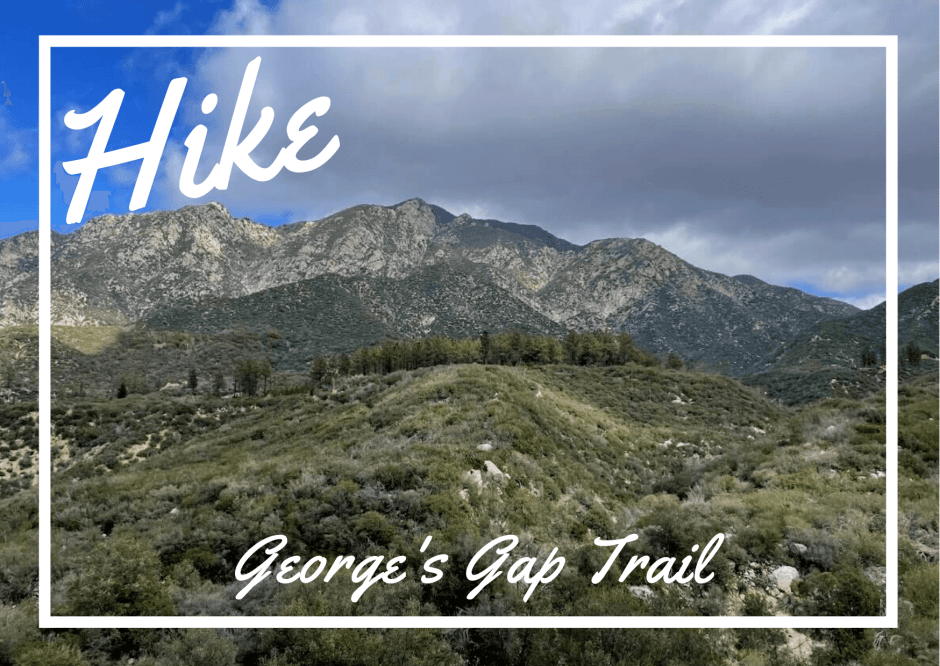
Pines in the San Gabriel Mountains! George’s Gap trail offers crowd-less hiking and a panoramic view over the Angeles National Forest.
Information:
– Distance: 2.9 miles out and back.
– Difficulty: Moderate (the last 1.5 miles are more challenging)
– Time: 1:30 hours
– Elevation gain: 669 feet
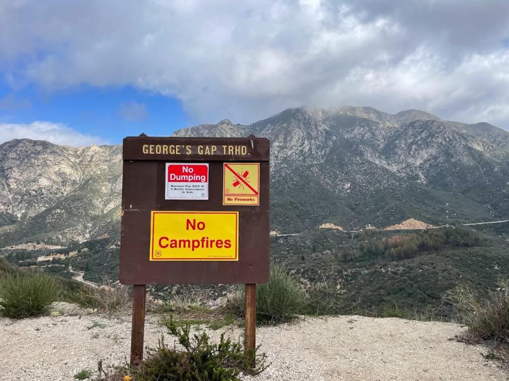
The trail starts at the end of the parking lot alongside the Angeles Crest Highway. Engage on the rocky descending path.

The next mile is easy with a series of descending switchbacks.

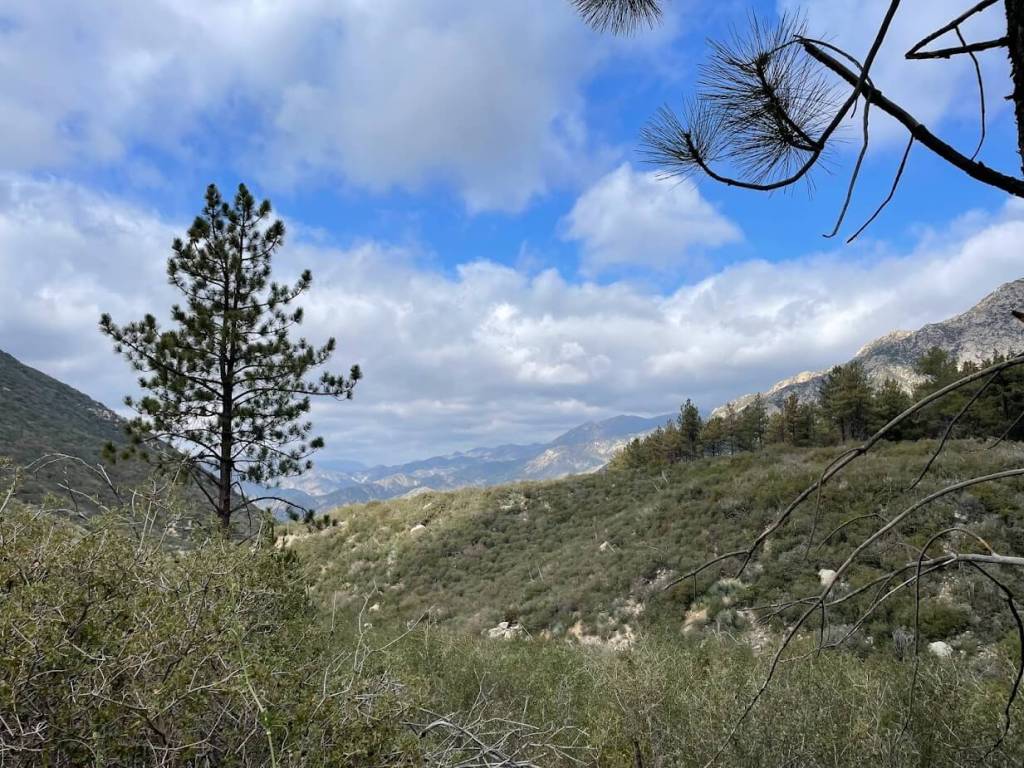
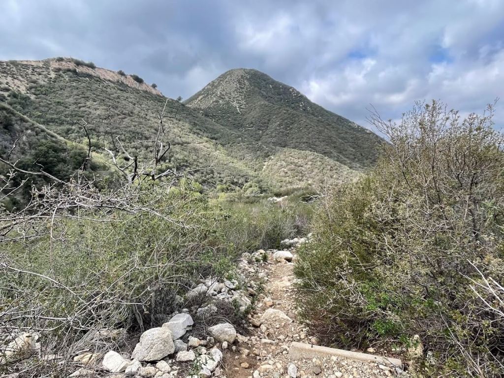
Enjoy the panoramic view, bush vegetation, and scenic change as you approach the creek.
The creek was almost dry during my hike, so it was an easy crossing. Plan accordingly if you’re hiking after rainy days.


As soon as you cross the creek bed, the trail ascends to the other side of the foothill.

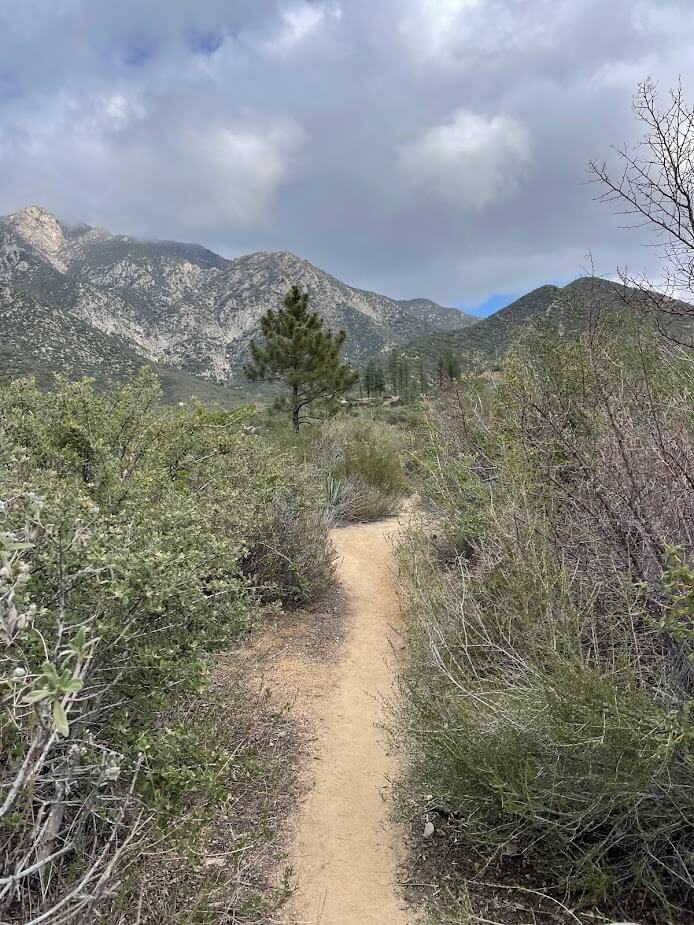
There is a short rocky stretch. Then the path is gradually flat until the pines area.

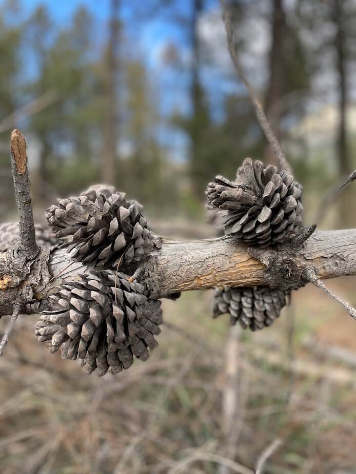
The pines area is relatively small. It includes some picnic tables.


Did you know?
The Angeles National Forest was originally named San Gabriel Timberland Reserve.
Finally, retrace your steps to access the parking lot.

Article based on my hike in February 2022.
*COVID-19 update as of November 2022*
- Please wear a mask and practice a physical distance of 6 feet between yourself and others.
- Please check L.A. County’s health and safety protocols before your hike.
Address: Georges Gap Trailhead, Georges Gap Trail, Tujunga, CA 91042.
Tips:
– I recommend hiking early morning to avoid heat
– Parking is limited but you can park alongside the road
– Grab water, hiking shoes, and sun cream
Ready to hike George’s Gap trail?
If you enjoyed this post, please leave a comment and share it with a hiker and nature lover.

